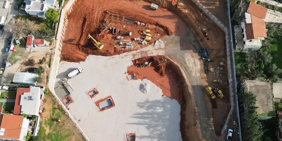
Leicester sits at approximately 57 metres above sea level with a dense urban layout that leaves zero margin for error when opening deep fronts. The combination of glacial till and pockets of alluvial gravels beneath the city centre demands a geotechnical design of deep excavations that reads the ground block by block. We have worked on propped basements near the River Soar corridor where water pressure changes the shoring scheme in a matter of hours. A site investigation with SPT defines the first strength envelope, and the triaxial compression test on undisturbed samples gives us the effective stress parameters that Eurocode 7 requires for the serviceability limit state. Each section of the retaining system is modelled with the actual groundwater profile measured on site, not with generic assumptions.
A deep excavation in Leicester's glacial till fails not because the soil is weak, but because the groundwater regime was underestimated during the design phase.
Local considerations
The East Midlands climate adds a seasonal layer of risk: prolonged winter rainfall saturates the granular lenses within the till, reducing the apparent cohesion and triggering local instability during benching. In the summer of 2022, Leicester recorded temperatures above 35 °C, which dried the near-surface clay and opened shrinkage cracks; later rain infiltrated fast and raised pore pressure behind the shoring. We address these swings by running sensitivity analyses on the modelled water table, not just a single design level. Basal heave in soft clay pockets is checked with the method proposed by Terzaghi and verified against limit equilibrium runs in the software. Where the factor of safety drops below 1.5, we incorporate jet grouting or toe pins before the excavation reaches the critical depth.
Common questions
What is the typical cost of a geotechnical design of deep excavations in Leicester?
The design fee ranges from £1,520 for a straightforward single-level basement to £6,310 for a multi-storey excavation with complex groundwater control and 3D finite element modelling. The final figure depends on the number of retained sections, the depth, and the proximity of third-party assets.
How long does it take to deliver the temporary works design?
A standard scheme for a 6-metre excavation can be issued in two to three weeks once the ground investigation data is complete. Projects requiring Plaxis 3D analysis and iterative coordination with the permanent works designer may extend to five weeks.
What happens if the excavation hits a different soil layer than the one in the ground investigation?
We include an observational method protocol in the design report. If the exposed material differs from the borehole logs, the site team sends samples for rapid classification in our lab, and we recalibrate the model within 48 hours to confirm or adjust the shoring sequence.