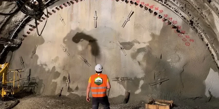
You'll spot our monitoring crews around Leicester's ever-changing city centre: a total station locked onto reflective prisms mounted on a neighbouring Victorian brick facade, an inclinometer probe being lowered carefully down a casing installed just behind a sheet pile wall. That's the visible side of geotechnical excavation monitoring. The rest is in the data. Every 0.5 metres, the biaxial probe takes a tilt reading, building a real-time deflection profile of the retaining wall. We're tracking what the ground is doing long before it becomes a crack in the pavement. In a city built on a mix of stiff glacial till overlying Mercia Mudstone, the behaviour of an excavation can change within hours, especially after a typical Leicester downpour saturates the near-surface clays. Understanding this local geology is why we often combine monitoring with targeted test pits to verify the exact depth to the mudstone interface before excavation begins.
Inclinometer baselines that shift without a corresponding change in dig depth are often the first sign of a groundwater issue behind the wall.
Local considerations
A 14-storey student accommodation block going up on a tight site off Welford Road. The excavation is barely 3 metres from the party wall of a 1920s brick warehouse. The contractor hits a pocket of running sand in the till at 4 metres depth. Within 48 hours, the inclinometer at the midpoint of the sheet pile wall shows 12 mm of cumulative deflection—still within the amber trigger, but accelerating. Because the monitoring was daily and the data was reviewed the same morning, the team had time to install a row of raking props before the situation became a structural problem. Without the real-time deflection profile, that sand lens would have been a nasty surprise, possibly leading to a serviceability failure in the adjacent warehouse. This is the reality of urban excavation in Leicester: the margins are small, the neighbours are close, and the ground never reads the borehole log.
Common questions
What does a typical excavation monitoring setup cost for a Leicester basement project?
For a standard residential or small commercial basement dig in Leicester, monitoring packages generally range from £640 for a short-term, manual-only setup to around £1,970 for an instrumented programme with automated inclinometers, piezometers, and settlement arrays running over several weeks. The final figure depends on the number of monitoring points, reading frequency, and whether we're also tracking vibration on adjacent listed structures.
How do you decide where to install inclinometers on a Leicester site?
We position inclinometers at the points of maximum predicted deflection, usually at the mid-span of a sheet pile or secant wall. In Leicester's glacial till, we also target zones where the borehole logs show transitions from clay to granular lenses, since these interfaces often concentrate movement. The casing is installed in a pre-bored hole and grouted into the ground behind the retaining wall, with the bottom founded in a stable layer to provide a fixed reference.
How quickly can you mobilise a monitoring team in Leicester?
For urgent situations—like unexpected movement or a party wall dispute—we can usually have a crew on site in Leicester within 24 to 48 hours. Standard project start-ups are typically scheduled with 5 working days' notice to allow for utility searches, access agreements with neighbours, and installation of baseline monuments.
What are the trigger levels you use, and who gets the alert?
We set three tiers: green (within design expectation), amber (approaching 70-80 per cent of allowable deflection), and red (exceedance requiring immediate review). The thresholds are agreed with the temporary works designer before monitoring starts. Amber alerts go to the site agent and engineer within 2 hours of the reading; a red trigger triggers an immediate phone call followed by a written notification, with the option to increase reading frequency to continuous if the situation demands it.