The biggest mistake we see on Leicester sites is assuming uniform ground because the surface looks flat. Underneath, you often find made ground, old cellars, or buried stream channels from the River Soar’s tributaries. An exploratory test pit cuts through the guesswork. You see the actual stratification, measure water ingress, and sample at the exact depth that matters. Too many contractors skip this step, then hit soft spots or saturated ash layers halfway through excavation. The result is always the same: cost overruns and programme delays. We log every pit to BS 5930, so your design team gets a factual record they can rely on — not a generic desktop assumption. When we encounter ambiguous fill, we recommend pairing the pit with a trial pit investigation for wider coverage across the site footprint.
A single exploratory test pit in Leicester’s alluvial corridor can reveal more about ground risk than five desk studies combined.
Process and scope
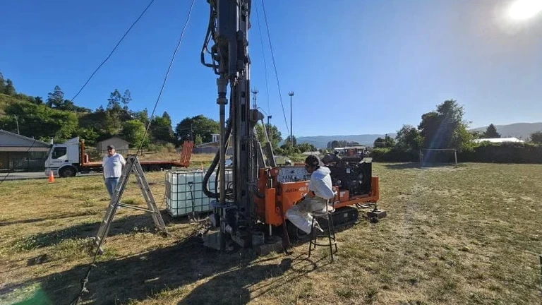
BS 5930:2015 + A1:2020 is the backbone of every pit we log in Leicester. The city’s geology shifts fast — from Mercia Mudstone in the east to alluvial gravels along the Soar valley. A single borehole won’t capture that variation. Our exploratory test pit method exposes a continuous vertical face, typically down to 4.5 metres. We photograph the profile, record moisture conditions, and take disturbed and undisturbed samples right from the exposed strata. This matters for Leicester because historic brick pits and backfilled quarries are common in areas like Kirby Muxloe and Enderby. You cannot detect those from a window sample alone. The pit log becomes your primary evidence for bearing capacity assumptions, drainage design, and excavation support requirements. Every log includes GPS coordinates tied to the site grid, depth to groundwater if encountered, and in-situ descriptions aligned with Eurocode 7 (BS EN 1997-2:2007).
Local considerations
Glacial till over Mercia Mudstone sounds predictable — until you open the ground. Central Leicester sits partly on river terrace deposits where sand lenses and soft silty clays alternate unpredictably. We have logged pits where stiff clay gave way to running sand just 1.8 metres down, right where a strip footing was planned. That kind of surprise halts a job immediately. The real risk, however, is anthropogenic. A century of industrial activity left Leicester with pockets of ash, clinker, and brick rubble that look firm on the surface but collapse under load or wash out with groundwater flow. Failing to identify these layers before construction leads to differential settlement, drainage failure, or worse. An exploratory test pit gives you the physical evidence to relocate footings, redesign soakaways, or specify targeted ground improvement before the main works begin.
Common questions
How much does an exploratory test pit cost in Leicester?
For a standard machine-excavated exploratory test pit in the Leicester area, budget between £430 and £650 per pit. This covers attendance, excavation down to 3–4 metres, full logging to BS 5930, sampling, and a factual report with depth profiles. The price shifts if you need deeper excavation with trench support, multiple pits on the same day, or laboratory testing on the samples. We give a fixed quote after checking access constraints and underground service clearance requirements.
How long do you need on site for a test pit investigation?
A single pit typically takes two to three hours on site, including excavation, logging, sampling, and backfill. If we are opening multiple pits across a larger Leicester development, we can normally complete four to five pits in a single working day. The factual report is delivered within two to three working days after site work finishes.
What information does the exploratory test pit log include?
Each log records depth to every stratum change, full soil descriptions per BS 5930, consistency or density assessments, groundwater observations including strike depth and post-rest level, sample locations and types, and any evidence of contamination or man-made obstructions. Photographs of the exposed face and GPS coordinates are standard. We also note backfill materials and compaction method used on completion.